Jamieson Creek Aerial Photo Gallery
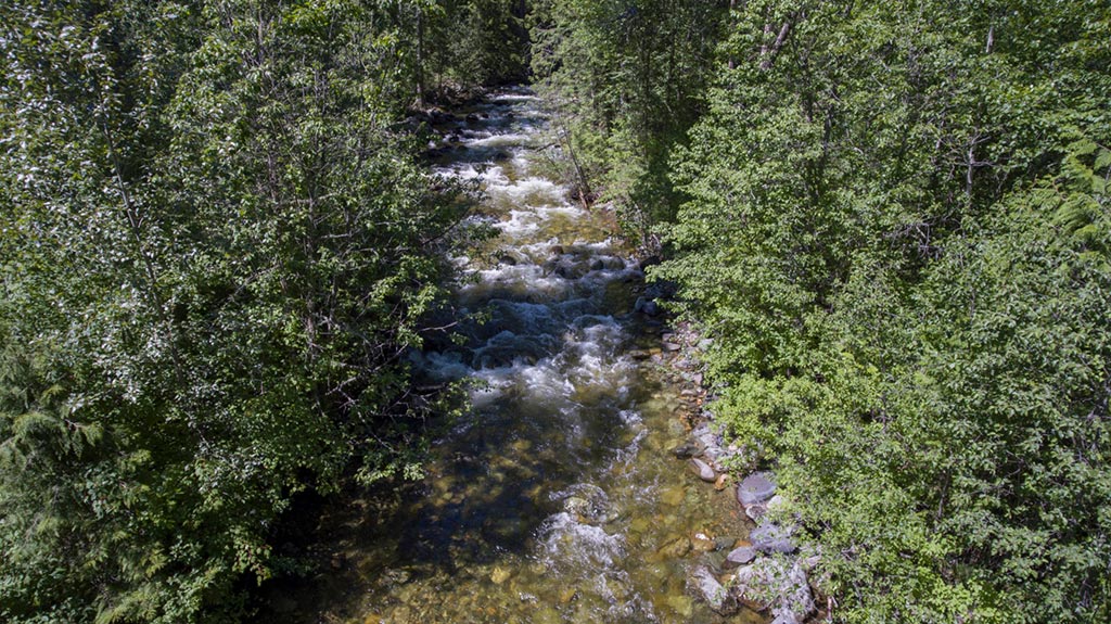
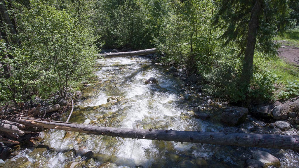
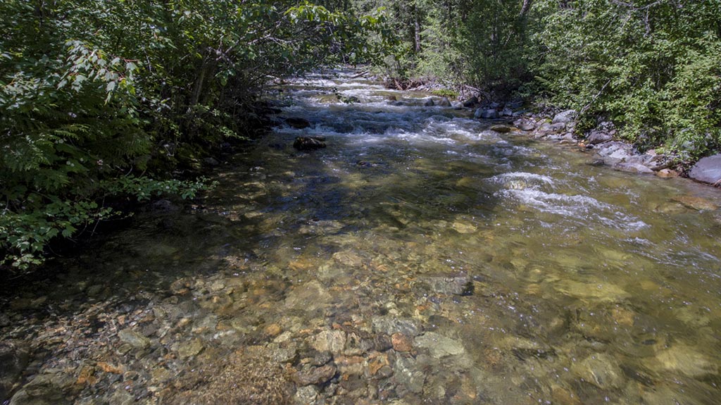

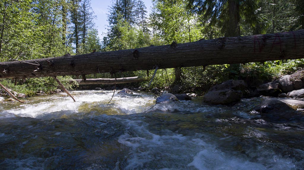
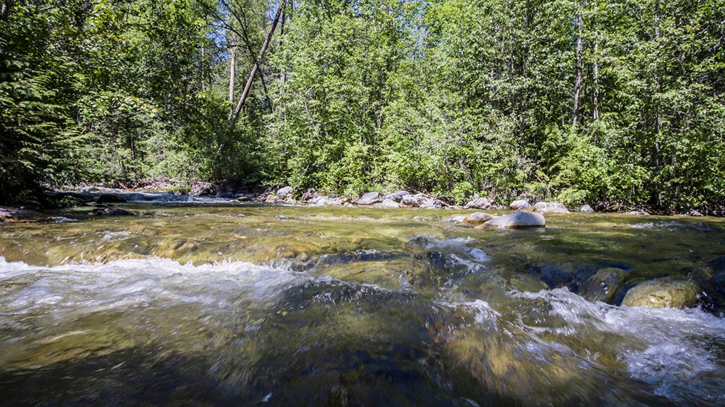
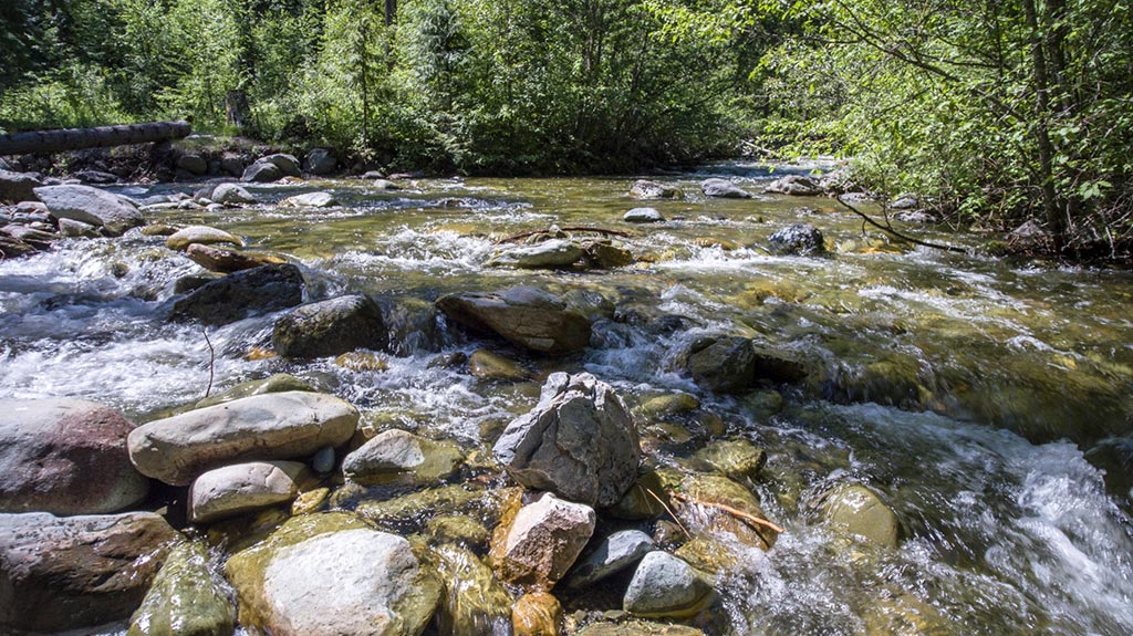
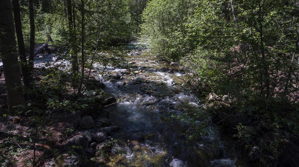
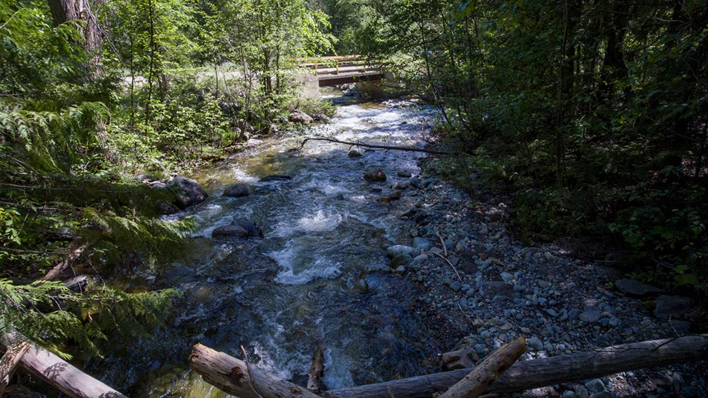
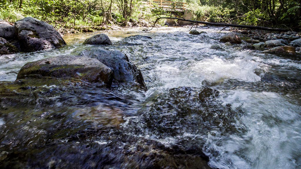
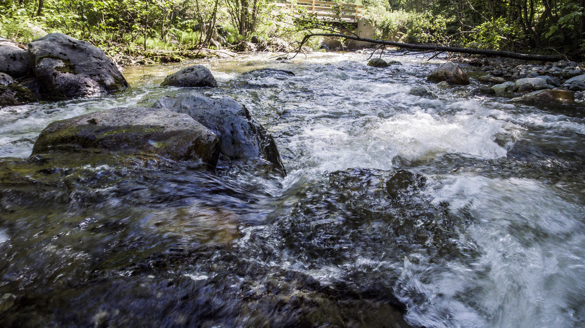
Piloting an unmanned aerial vehicle over moving water has it’s own set of challenges. That coupled with a low count of GPS/GLONASS satellites and tight spaces due to vegetation makes flying at this location challenging to pilot an unmanned aerial vehicle.
Some of the aerial photos and aerial video was captured within 15 cm of the water. Care has to be taken to stay away from rapids, that are creating spray or mist, to keep your UAV dry and the camera lens cover clean.
Take care while crossing the larger of the two logs crossing over to the island. In dry conditions, crossing the log is relatively safe. Good footwear will help.
Fly safe and enjoy the beauty Kamloops has to offer!
Please help us keep our environment green
See below for coordinates, directions and a map for getting to the Jamieson Creek trail.
Westsyde Road and 8th Street: 50°42’43.63″N, 120°21’56.74″W
Jamieson Creek Main Haul Road: 50°52’52.13″N, 120°16’35.47″W
Jamieson Creek Bridge Pull-out: 50°54’39.89″N, 120°19’8.72″W