Hypothesis
“Is it feasible to use unmanned aerial vehicles to capture media, processing the media on a computer, to aid in early flood prediction?”
About the Case Study
The case study structure is based on the Scientific Method, where we come up with a question that we want to answer, complete initial research, then perform the experiment and observe the results based on data collected, and then draw a conclusion. In this case study, we are setting out to prove the hypothesis (as apposed to disprove).
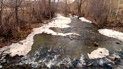
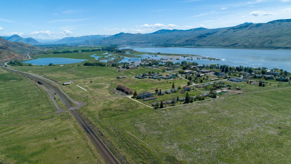
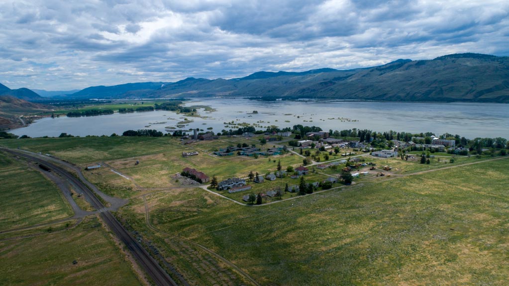
The idea for this case study came about from learning about a relatively new technology that uses sequences of video captured of a river or stream, and then processed using specialized software to determine the velocity of the water. The theory is that using UAV’s to monitor the change over time of river and stream velocity may assist in early flood prediction.
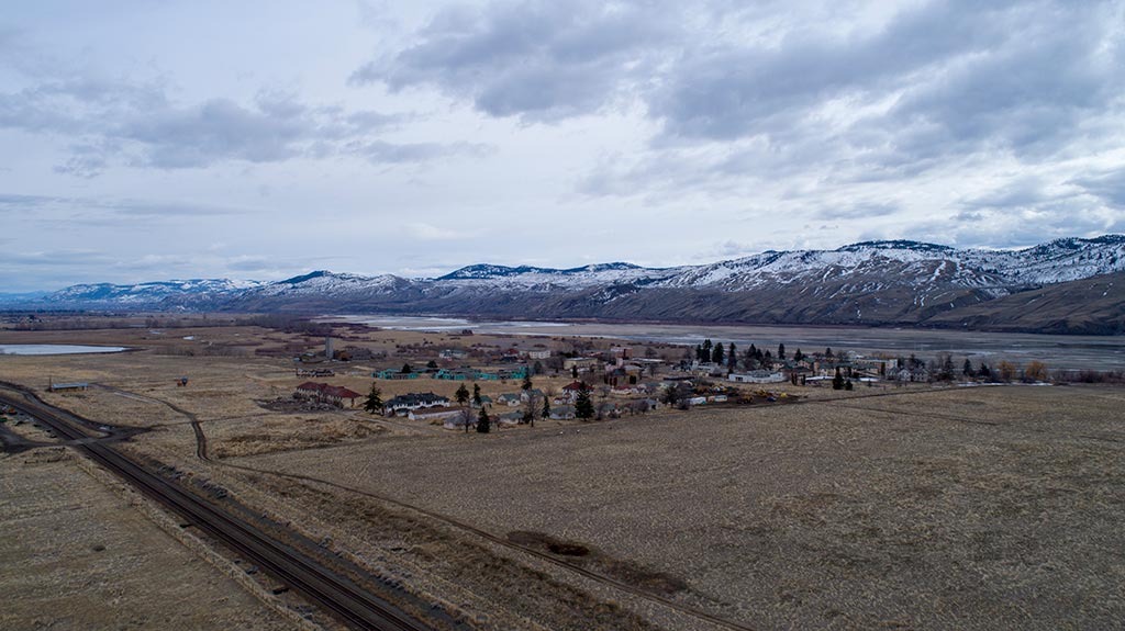
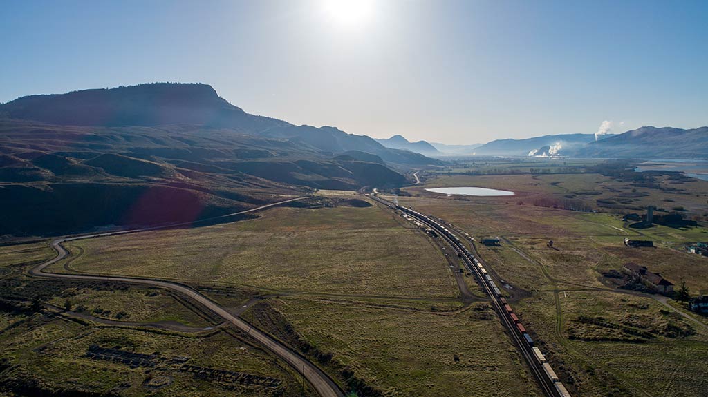
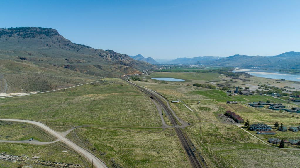
The other contributing factor to starting this endeavour was general interest in meteorology and flooding. What do people talk about? The weather! There have been many stories told over the years of the big Kamloops flood back in 1972 that had a major affect on North Thompson home owners, sending flood waters into the Oak Dale Trailer Park. The flood caused the City of Kamloops to evacuate residents and reinforce the dyke structure along the North Thompson River near Oak Hills in Westsyde. Every year, residents talk about the spring runoff and wonder if there will be a flood that will affect local homes.
Other important interests include the effect that floods have on the environment. For example, heavy flooding can change the course of rivers and streams. Boulders, rocks, gravel and sediment get displaced every year. This can have a negative impact on salmon (and other fish species) spawning grounds, for example. We hope to visualize and learn about these and other environmental impacts during the case study.